
Spokane, WA Quiet suburban
Airway Heights
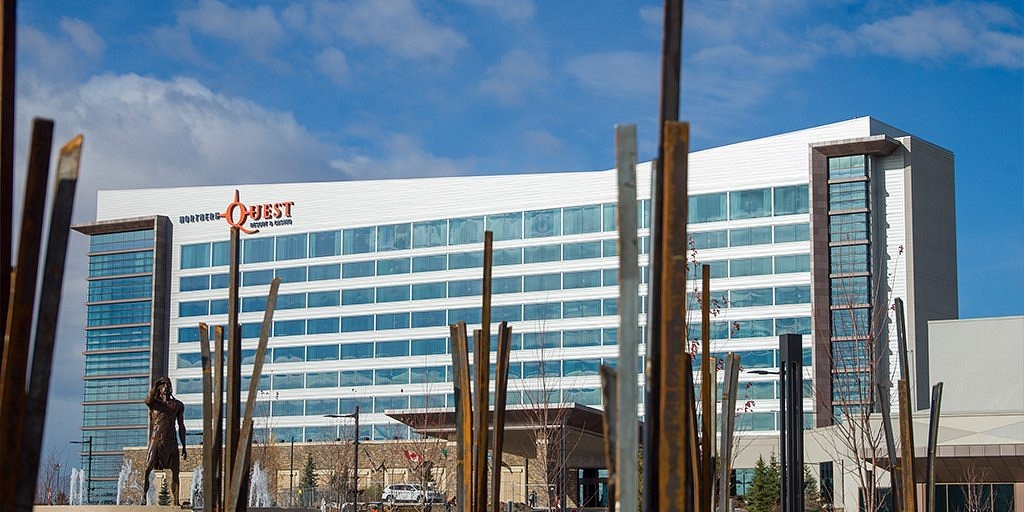
West of Spokane, minutes from Fairchild and the airport.
- Median
- $385K
- Year change
- +2.8%
- Downtown
- 23 min
Spokane, WA
Suburban developments near Riverside State Park trails.
Set in the hills of Northwest Spokane, this community overlooks the Spokane River corridor and the natural beauty of Riverside State Park. Known as one of the city’s newer residential areas, this bike-friendly neighborhood has spacious ranchers, condominiums and up-scale apartment options, many of which offer decks with amazing views of the sunset. With many necessities, such as grocery stores, medical clinics and dining options located on Indian Trail Road, you don’t have to travel far to enjoy the endless outdoor opportunities that Spokane has to offer. Whether you’re drawn by the scenic views, nearby trails, or close-knit feel, this neighborhood provides a relaxed environment without sacrificing access to the services and activities that make daily life convenient.
Quiet neighborhood streets and new(ish) developments. Still growing. One road in and out, which you'll notice at rush hour.
Middle sold price of the 153 homes sold so far in 2026, compared with the same stretch of 2025. Source: Spokane Association of REALTORS MLS (Market Insights), covering the MLS areas that make up Indian Trail. Updated 2026-10-06.
From the Census Bureau's American Community Survey (2019-2023), for the census tracts that make up Indian Trail. Tracts do not line up perfectly with neighborhood lines, so treat these as a general picture.
Average high / low and yearly totals, 2016-2025.
School boundaries and ratings change often. See the schools near Indian Trail on GreatSchools, and confirm boundaries with the district before relying on them.
Ratings come from FEMA's National Risk Index and flood maps. They describe the area, not any one house. Check a specific address before you buy, and ask your insurance agent about coverage.
Typical drive time without traffic, from the center of the neighborhood.
Spokane, WA Quiet suburban
West of Spokane, minutes from Fairchild and the airport.
Spokane, WA
A college town about 20 minutes southwest of Spokane.
Spokane, WA Quiet suburban
Mid-century homes around Comstock Park and the Manito shops.